
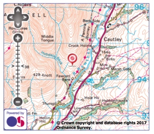
In the Howgills, a quiet triangle of grassy round fells between the M6 and the towns of Kirby Stephen and Sedbergh, and, since 2016, part of the Yorkshire Dales National Park. The River Rawthey forms the eastern boundary separating them with Baugh Fell. The photo was taken from Fawcett Bank Rigg on a climb up to Arant Haw.

I am getting homesick! Beautiful location and excellent shot. Happy Days. Reinhold
LikeLike