Urra Moor Dyke

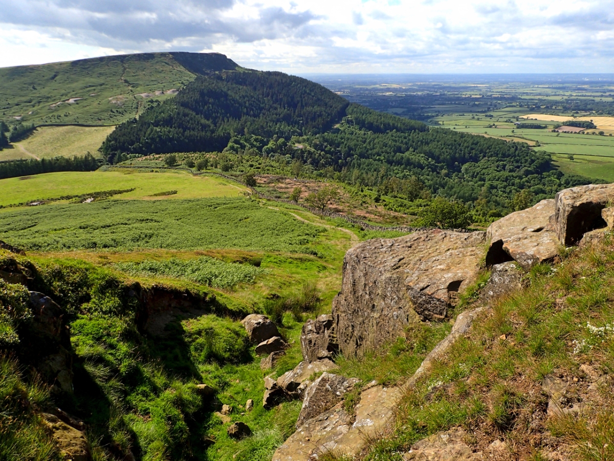
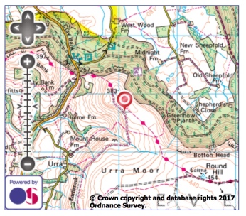
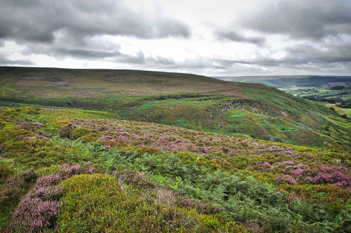
Along the eastern edge of upper Bilsdale is a linear prehistoric dyke almost four and a half kilometres long. In the photo the can be made out on the left curving down to Bilsdale Beck as a bilberry topped embankment with a ditch on the down slope filled with bracken. From the beck the dyke rises then contours around the escarpment. The embankment is up to 3.5m wide in places and typically half a metre high. It is faced with stone in places. The ditch is a maximum 3m wide, half a metre deep and in places cut into the sandstone bedrock.

Similar dykes on the North York Moors are considered to be Middle Bronze Age which dates it to 1500–1200 BC. Other local names for the Urra Moor dyke are Billy’s Dyke, Cliff Dyke and Cromwell’s Lines. The former I guess a reference to the often repeated legend that William the Conqueror lost his way on the approaches to Bilsdale in his harrying of the North thus giving rise to the dale’s name although a more likely explanation is that Bilsdale derives from the old Norse name Bildr.

For what purpose the dyke was built for no one is sure. Defence? Stock enclosure? Prestige? Its construction must have taken a lot of resources so it would certainly have marked an important boundary. Perhaps a warning to those about to enter a tribe’s territory.
Urra Moor dyke map

Urra Moor

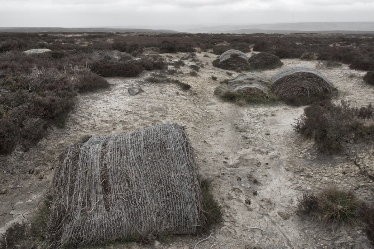
On the highest point of the North York Moors, just a few metres off the the Cleveland Way National Trail, the Lyke Wake Walk and the Coast to Coast Walk is this sorry sight. A vain attempt to restore the blanket bog and heather moorland. Heather bales have been used to block the many ditches built by the landowners to drain the moor in the belief that better growing conditions for the heather will produce a bigger bag of grouse. Too little, too late is an appropriate catchphrase with compete erosion of the peat leaving acres of sterile wastes.

The degradation may have begun in the 1930s. Bill Cowley, writing twenty years later, records that Urra Moor was only then just beginning to recover from a major moorland fire prior to WW2.

Urra Moor map

Urra Moor

In 1979 I had a battle here with one of the greats of fell running, Joss Naylor. The Cumbrian  sheep farmer was at the height of his career, a career with too many accolades to mention. He held the Lake District mountain record climbing 72 peaks in less than 24 hours, a feat covering over 100 miles with about 38,000 feet of ascent and was appointed an MBE for his services to sport and charity. On that July day of 1979 however he had his sights on the Lyke Wake Race, a race across the moors from Ravenscar to Osmotherley, a mere sprint at 39 miles.

In those days the fell running calendar was much leaner than today and the Lyke Wake Race had a much higher profile. The race was run on a handicap basis with the slowest runners setting off first and the fastest last such that, in theory, all competitors would finish at the same time in Osmotherley when the Summer Games were being held. A carnival atmosphere.

Joss and I were both off scratch and I felt good showing him the way across the moors. However in my naivety I didn’t appreciate the amount of drafting I was providing running into the westerly winds. It was about here, coming down from Urra Moor that Joss took the lead. I was spent but did manage to regain contact later at Huthwaite by the judicious use of local knowledge. Joss soon pulled ahead again to take three minutes out of me and win in a new record time of 4 hours 53 minutes. Two years later I did manage to shave 2 minutes of Joss’s time. Vindication of a sort in spite of Joss’s absence.

But enough reminiscing. Today is Joss Naylor’s birthday. He’s 81 and still active on the hills using a pair of walking poles fashioned from hazel rods. Happy Birthday, Joss.

2017-02-10-map


Mountain Rescue Volunteers

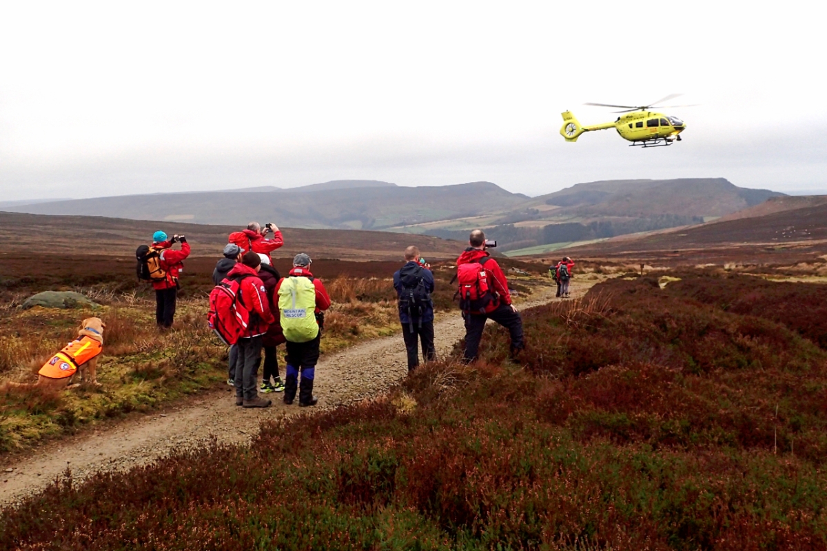
A search dog seems unimpressed as Cleveland Mountain Rescue Team volunteers watch the departure of the Yorkshire Air Ambulance taking a casualty to James Cook Hospital. The team, supported by neighbouring teams from Scarborough, Teesdale and Swaledale, had been searching for a 39 year old man since he was reported missing by his family at 1:20 in the morning. It was the team’s sixth call out this year with overnight temperatures below freezing. I understand the man is now recovering.

The closeness to a situation brings an appreciation of the time and effort put in by Mountain Rescue teams. In this incident lasting almost ten hours 70 volunteers were involved not forgetting the five search dogs. Down in the car park I counted five vehicles which need maintaining and replacing sometime in the future. Mountain Rescue teams are dependent on contributions from the public. All of us who use the great outdoors should consider generously supporting mountain rescue teams as often as possible.

What made today particularly sobering is that the casualty was a runner who has taken part in local events although I understand he was not dressed in his running kit. When out on the fells on your own it is fundamental that someone knows your approximate route and when you’ll be back. I must admit I am frequently guilty but I have come across a clever simple system which I do try to remember to use. It’s called SpotMe and I do recommend it. Basically it involves before you set out sending a sms text message to the SpotMe server stating your route and time expected back. And when you do get back you send another text telling the server that you are safe. If no ‘safe’ message is received by your expected return time in the first instance your nominated contact is notified. It’s very easy and works with just the poorest of mobile signals. No fancy 4G signal needed. Should you change your plans en route then an intermediate text can be sent with the update. Simples as they say.

nz5801-map

The Cheshire Stone

Another wet morning left me dithering to go out but by lunch time the sun was breaking through. Even on the Cleveland Hills I am always amazed to discover new places and vistas. I was browsing the 1853 Ordnance Survey 6″ map when I spotted the name Cheshire Stone on the edge of Urra Moor overlooking Bilsdale. To be named on the map the feature must be significant. I just had to find it.

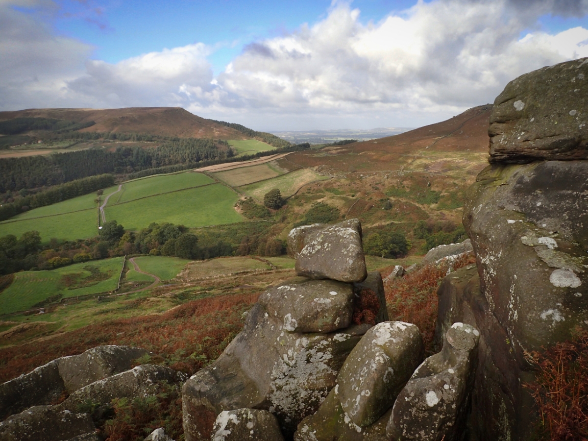
It was well worth the effort. Hacking through the dying bracken, about fifty metres from a Public Bridleway I’ve used many times before that skirts the edge of the moor and follows the prehistoric dyke known as Billy’s Dyke. I guess the Cheshire Stone is the largest of the cluster of rounded sandstone rocks, to the right in the photo. In the distance an unfamiliar view of Hasty Bank.

Urra Moor

A drab misty start to the week with rain threatening. The boundary stones across Urra Moor probably mark the limit of the Feversham estate. Bilsdale below is only just visible.

Hasty Bank

A view west from Carr Ridge towards Hasty Bank. Whether the gulley is natural or man made, a holloway  created by the centuries of use, is uncertain.  The track is certainly of antinquity, an old way called Haggesgate which linked the market town of Stokesley to the Thurkilsti road heading south along Bransdale Rigg to Welburn. In parts of Yorkshire, ‘hagg’ still apparently means an area of woodland on a sloping bank. Thurkilsti is Thurkill’s hill road and is first mentioned in Walter Espec‘s grant of land to Rievaulx Abbey in 1145.

Today the National Park Authority has laid a neat paved path to the right avoiding the gulley. It’s a popular route carrying long distance footpaths such as the Cleveland Way and the Lyke Wake Walk.

Swaledale sheep, Bilsdale

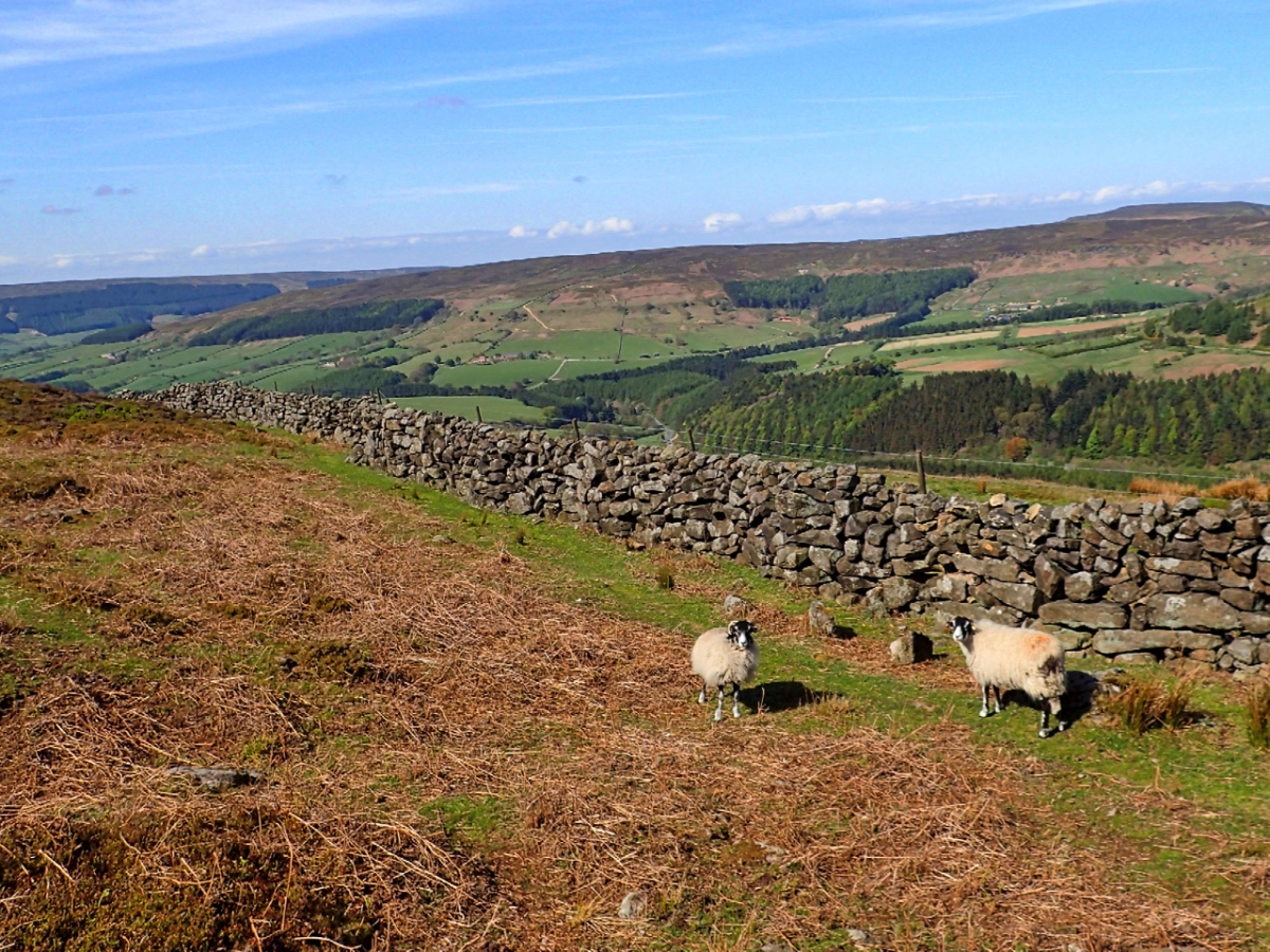
At least I think these are Black Faced sheep, one of the traditional breeds of the Northern hills. Other contenders could be Swaledales and Rough Fells. Quite frankly after looking at scores of photos on Google they all begin to look the same. All three are found on the North York Moors and all are said to be descended from a small flock that was on board a fleeing Spanish vessel of the Armada that was shipwrecked off the Cumberland coast. Which begs the question as to what breed of sheep were the medieval monks of Rievaulx Abbey farming.

One local name for Black Faced sheep is Moorjocks which is also used as a derogatory name for dales folk.

On some grouse moors sheep are used as tick mops to control ticks which weaken young grouse chicks. The sheep would be dipped up to 5 times per year to kill off the ticks and then released again to collect more ticks.


These sheep hiding behind a dry stone wall are on Carr Ridge overlooking Bilsdale.

Urra Moor

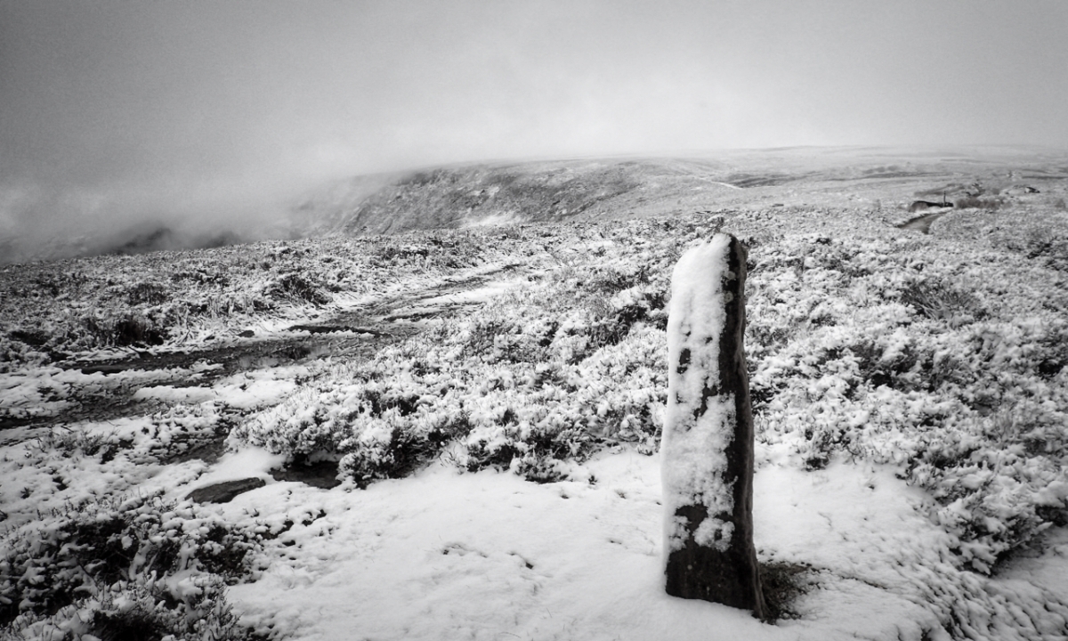
A surprise covering of overnight snow on the Cleveland Hills. This menhir or standing stone is on the Cleveland Way as it climbs Round Hill on Urra Moor from Clay Bank. The slope on the left partly covered by mist is named on modern maps as Botton Head but on the 1857 map it is Burton Head.

It wer reet parky on’t moor this morning

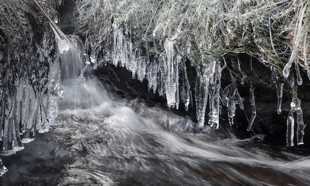
Icicles or to use the Yorkshire term ice shoggles on a small beck draining Urra Moor. This tributary of the River Seph, is surprisingly not named on the O.S. map. Lower down a spring on the north bank is named as Cowkill Well and further downstream the beck is named as Rotten Scar but that seems more likely to refer to the small valley down which it flows. Even further downstream it becomes Bilsdale Beck before finally maturing into the River Seph below Chop Gate.