Urra Moor Dyke

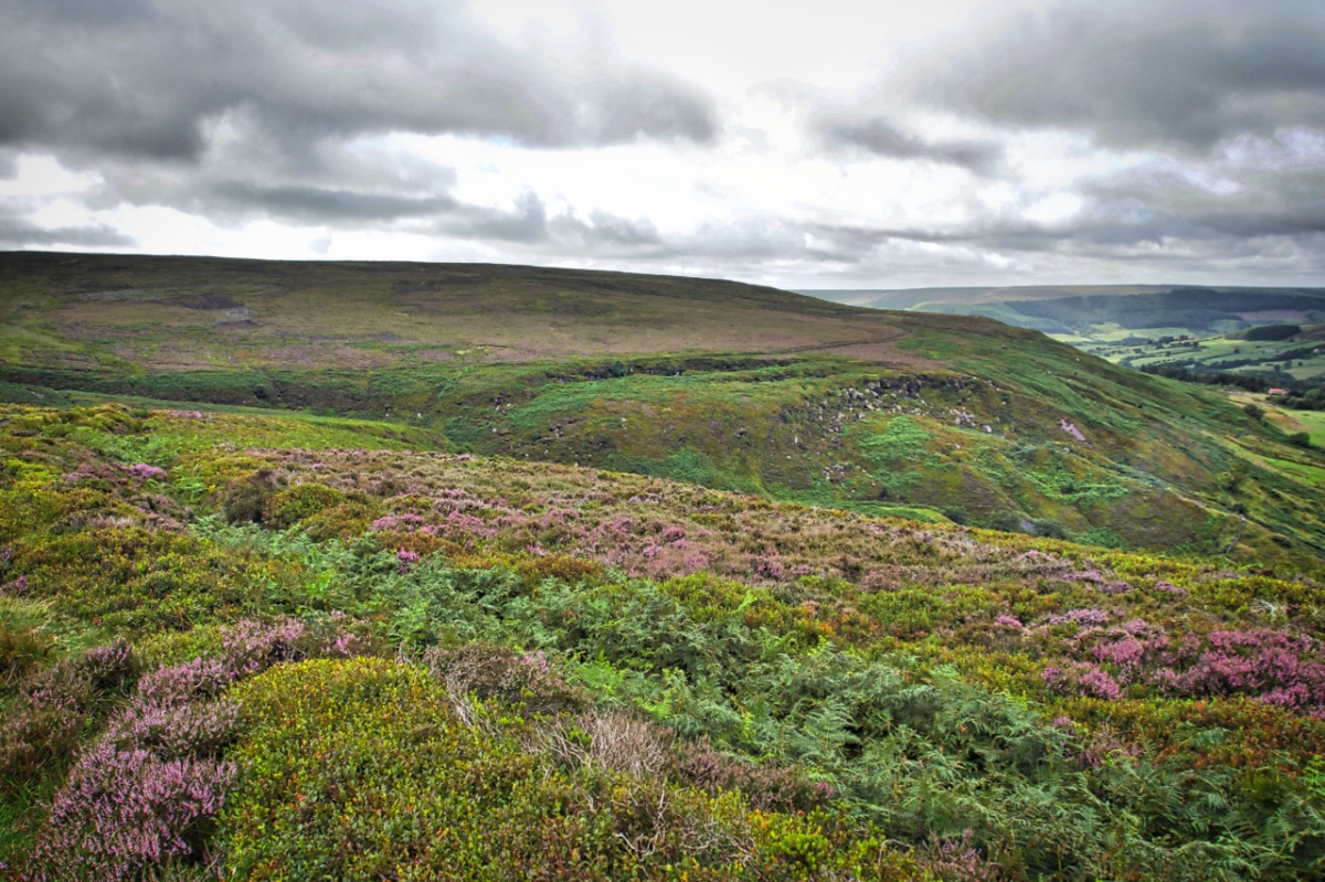
Along the eastern edge of upper Bilsdale is a linear prehistoric dyke almost four and a half kilometres long. In the photo the can be made out on the left curving down to Bilsdale Beck as a bilberry topped embankment with a ditch on the down slope filled with bracken. From the beck the dyke rises then contours around the escarpment. The embankment is up to 3.5m wide in places and typically half a metre high. It is faced with stone in places. The ditch is a maximum 3m wide, half a metre deep and in places cut into the sandstone bedrock.

Similar dykes on the North York Moors are considered to be Middle Bronze Age which dates it to 1500–1200 BC. Other local names for the Urra Moor dyke are Billy’s Dyke, Cliff Dyke and Cromwell’s Lines. The former I guess a reference to the often repeated legend that William the Conqueror lost his way on the approaches to Bilsdale in his harrying of the North thus giving rise to the dale’s name although a more likely explanation is that Bilsdale derives from the old Norse name Bildr.

For what purpose the dyke was built for no one is sure. Defence? Stock enclosure? Prestige? Its construction must have taken a lot of resources so it would certainly have marked an important boundary. Perhaps a warning to those about to enter a tribe’s territory.
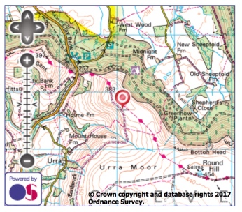
Urra Moor dyke map

Chambered Cairn, Great Ayton Moor

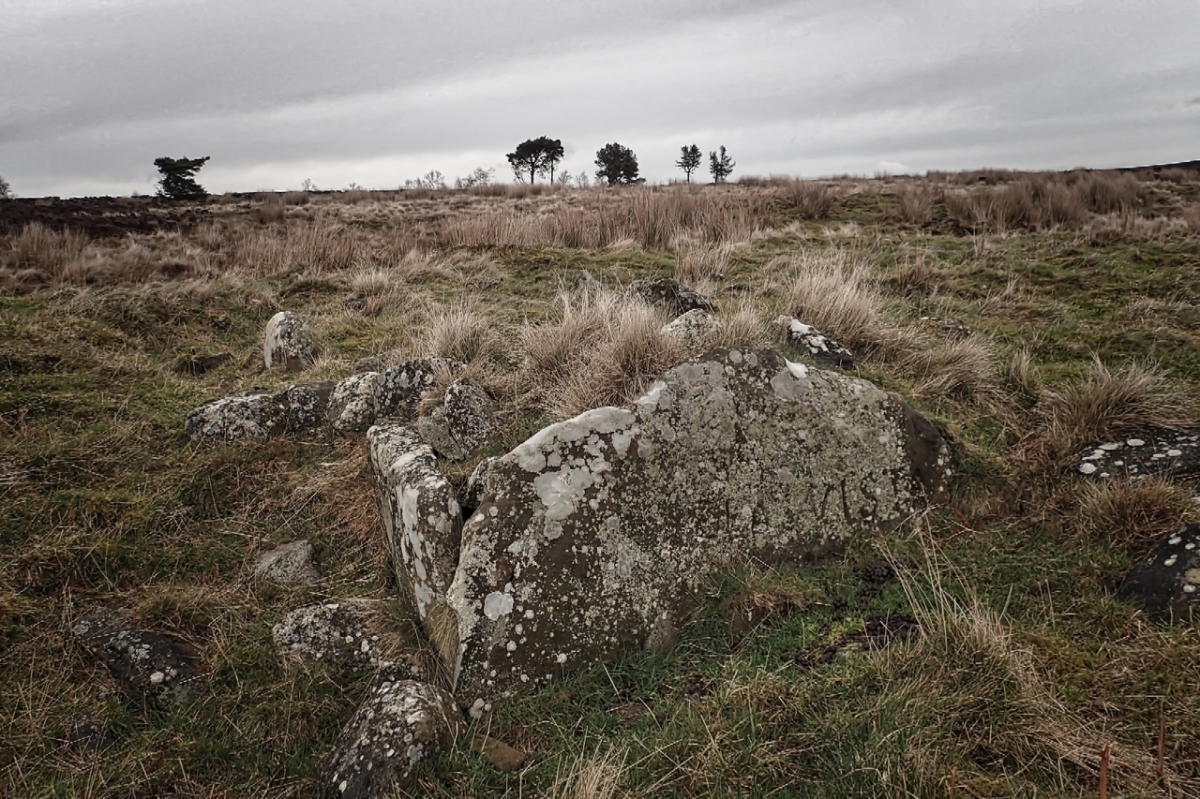
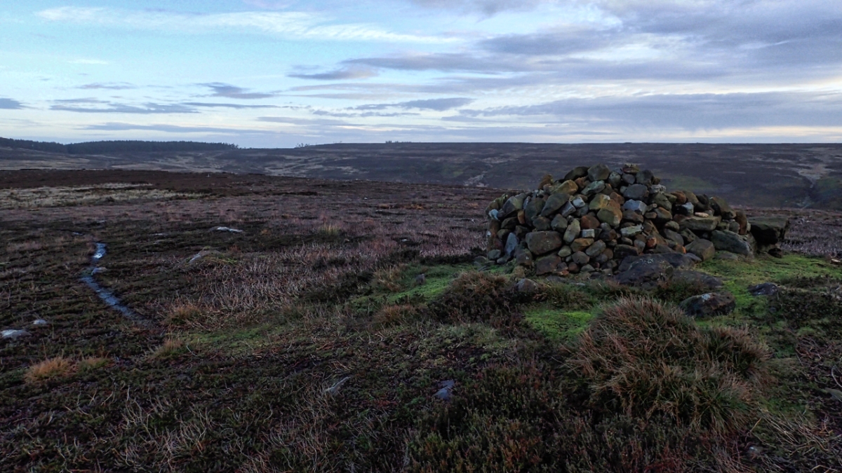
In search of the chambered cairn on Great Ayton Moor. These stones, one adorned with  modern graffiti ‘Bela Vista’, looked a likely candidate but after studying the archaeological sketches from a 1950s excavation I am now not so sure. Chambered cairns are rare, unique on the North York Moors. Eight large flat stones leaning together with a headstone to form a chamber. No skeletal remains were found but given the acid conditions that is not surprising. Pottery shards and various flint and stone objects were found. Pollen analysis helped dating the site to the Neolithic.

Chambered Cairn map

Sun on wet rock

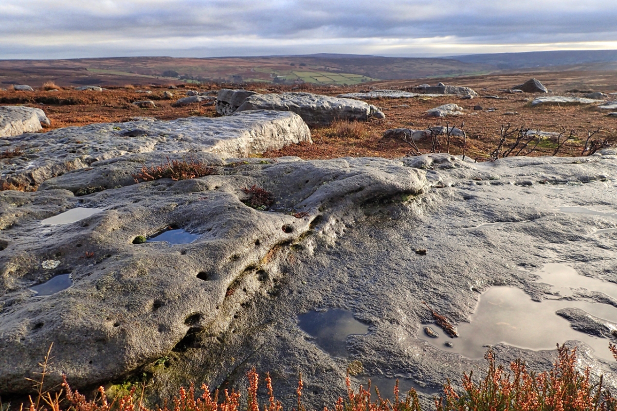
Rock islands in the heather. A boulder field of Jurassic sandstone on the ridge between North Ings Moor and Wayworth Moor. When the sun is shining on the wet rock, a special place which must have had some significance in prehistoric times. Close by buried in the heather are Bronze Age field systems, settlements  and a stone circle.

Bridestones

A climb up to Nab Ridge between Bilsdale and Tripsdale. Ended up trying to wade though a thistled rough pasture whilst following a diverted path around the manicured lawns of Cam House. And the pet llamas took a dislike to the dog.

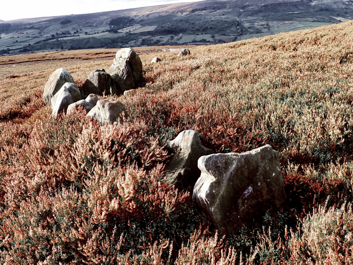
I was aiming for the Bride Stones, a Bronze Age round barrow, long since gone with only the kerb stones remaining. A circle could clearly be seen, about ten metres in diameter, although many stones are now buried by the heather.

There are other Bride Stones on the moors and beyond throughout Northern England. Some say the name comes from Bride, the Mother Goddess of the Brigantes, a Celtic tribe inhabiting the modern counties of Yorkshire, Lancashire, Northumberland and Durham. Other placenames having the same etymology are Bridlington, Brigham and Brigg. An alternative theory is that the name originates from the Old English word for a young bird or chicken: “bridd”.

Burton Howe, Ingleby Moor

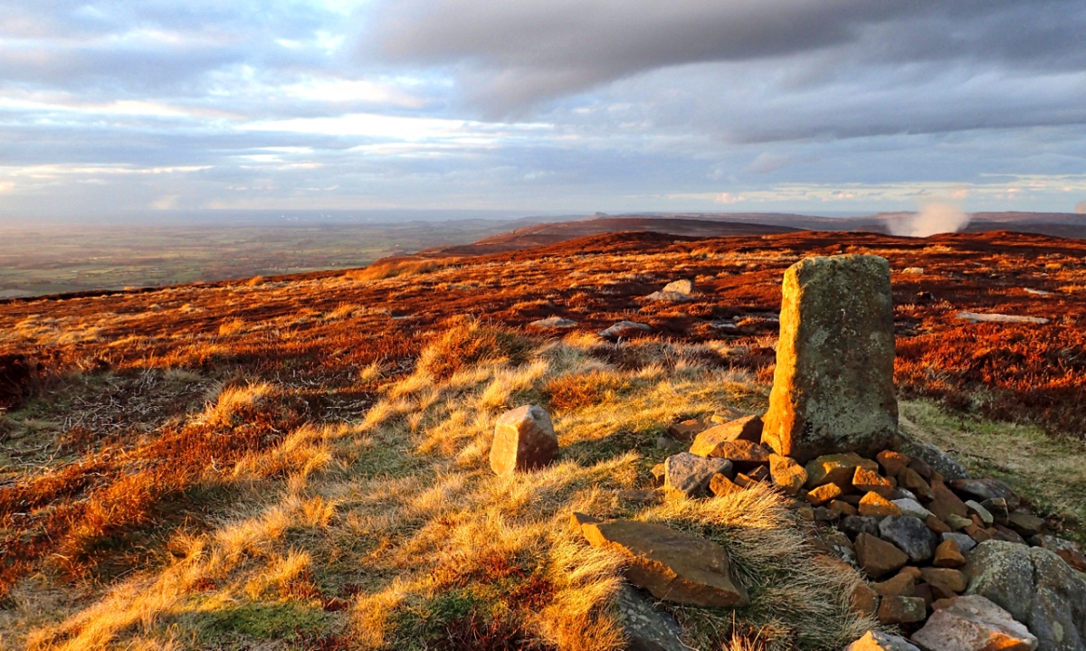
The last of the setting sun strikes the boundary stone on Burton Howe, a Bronze Age burial mound on Ingleby Moor. The mound was excavated in the 1950s and is described by Historic England as a “Bronze Age round barrow of two constructional phases including kerb surviving as an earthwork. No trace of ditch. Excavation in 1956 revealed central cist, cremation burials and pottery.

The plume of smoke on the right of the photo is from the burning of the heather to encourage new growth to feed the grouse.

Codhill Heights, Bronze Age burial mound

The high point of the ridge between Sleddale Beck and Codhill Slack on the moors south of Guisborough. A cairn on top of a tumulus marks the summit which stand at 972′ above sea level. The tumulus is listed as a round barrow, a burial mound dated to the early Bronze Age, that is between 2,500 and 1,500 B.C.

Round barrows would have been a common feature throughout Britain, but few in the lowlands survive today ones because of farming. Generally round barrows were clustered on ridges and hills and in woodland clearings and would have been used for family members over several generations.

After 1,500 B.C. the climate seemed to have undergone a change. It became cooler and more wetter resulting in a spread on blanket bog here on the moors. And whether related to that or nor burial practices also changed with cemeteries being unmarked.

To put the photo in context, the view is north east towards Gisborough Moor. My photo taken from Percy Cross shows Codhill Heights in the distance.

Round Hill

Did the day break today? I must off missed it. Round Hill is a Bronze Age tumulus or burial mound on Round Hill, which at 454m or 1,490 feet is the highest point on Urra Moor and the North York Moors.

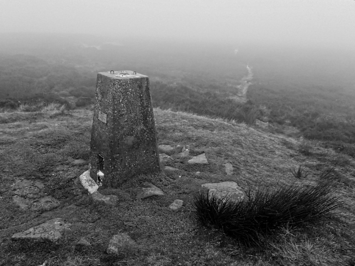
I’ve found that very few young adults of today that I take on to the hills, have any idea what trig points were used for. And fewer still show any signs of recognition when trigonometry is mentioned.

The Roseberry Hoard

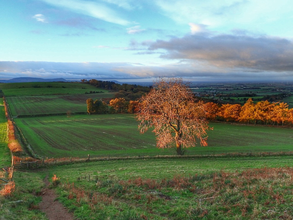
1826, George IV is on the throne and the Stockton and Darlington Railway is just one year old. Airey Holme Farm including Roseberry Topping is under the ownership of George Jackson of Stokesley. An agricultural labourer is under instruction to clear away rocks and rough vegetation on the slope below the summerhouse prior to ploughing so as to increase the area of cultivated land. In the photo this would be before the tree and to the left near the old hedge line.

In a cleft in the rock the labourer sees something shining and discovers a collection of bronze objects. This was to become known as the Roseberry Hoard. George Jackson recognises them as being valuable but having no interest in antiquities just stores them. By all accounts the hoard consists of about twenty pieces, axe heads, gouges, a two piece mould and a curved knife; and since dated to the end of the Bronze Age, about 700 BC. It is not unusual to find hoards like this. Yorkshire alone has recorded 40 or so, out of over a 100 in the whole of Britain and Ireland. It is speculated that the hoard was hidden for safekeeping but never recovered possibly because new technology had arrived, iron. Maybe the bronze smith, who may have been an itinerant worker, came to grief before he could pass his knowledge onto his son.

So after some years Mr Jackson passes the hoard onto a William Nicholson of Egglesciffe who eventually sells 9 pieces to a Thomas Bateman of Derbyshire. Bateman is building a collection of antiquities which is purchase when he dies by Sheffield Museum. The whereabouts of the missing pieces is unknown. And that’s why the Roseberry Hoard is now in the Weston Park Museum in Sheffield. I know how the Greeks feel about the Elgin Marbles now.

Locally we have to be content with a replica set of the hoard. This is in the Dorman Museum in Middlesbrough.

The photo was taken in the first light of the morning sun from near the summerhouse looking south toward Cliff Ridge.