Yewthwaite Lead Mine

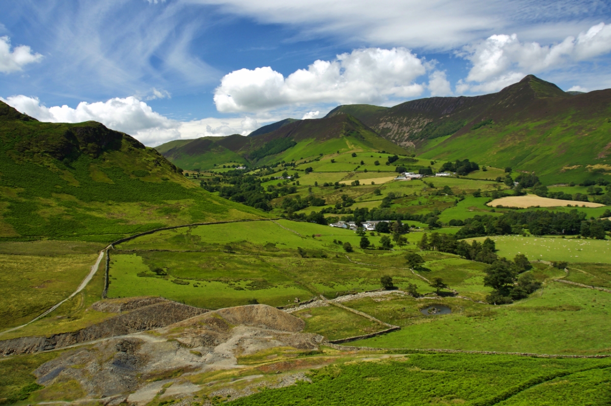
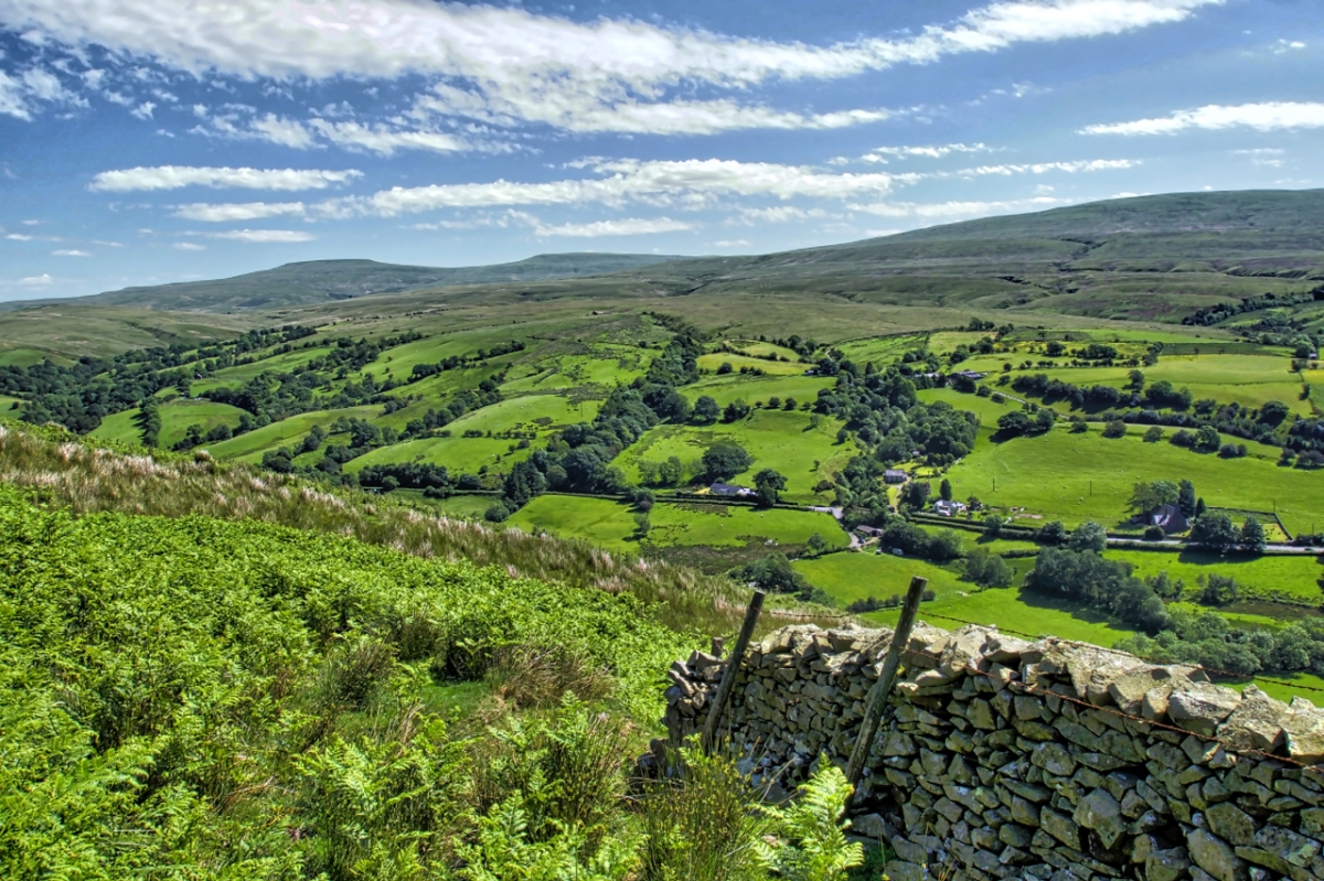
As the Lake District joins the Taj Mahal, the Great Barrier Reef and Grand Canyon on the list of Unesco’s world heritage sites it is easy to forget that all but the high fells are largely a manmade landscape. Indeed sheep farming is probably the main reason behind this new status not that everyone agrees with it. But mining and quarrying have also dramatically altered the landscape. A 13th century document tells of gold, silver, copper and lead mines in the Newlands valley. This is thought to be Goldscope mine and the foot of the Handscarth ridge. Yewthwaite Mine is below Cat Bells, probably the most popular fell in the Lake District. Most visitors however are unaware of the mining activity that took place on its western flank. It was operational in the later half of the 19th century working on a vein of lead. There was also a vein of copper but this was not fully developed. The galena extracted was dressed on site using a crusher with power generated by a water wheel on Yewthwaite Beck.

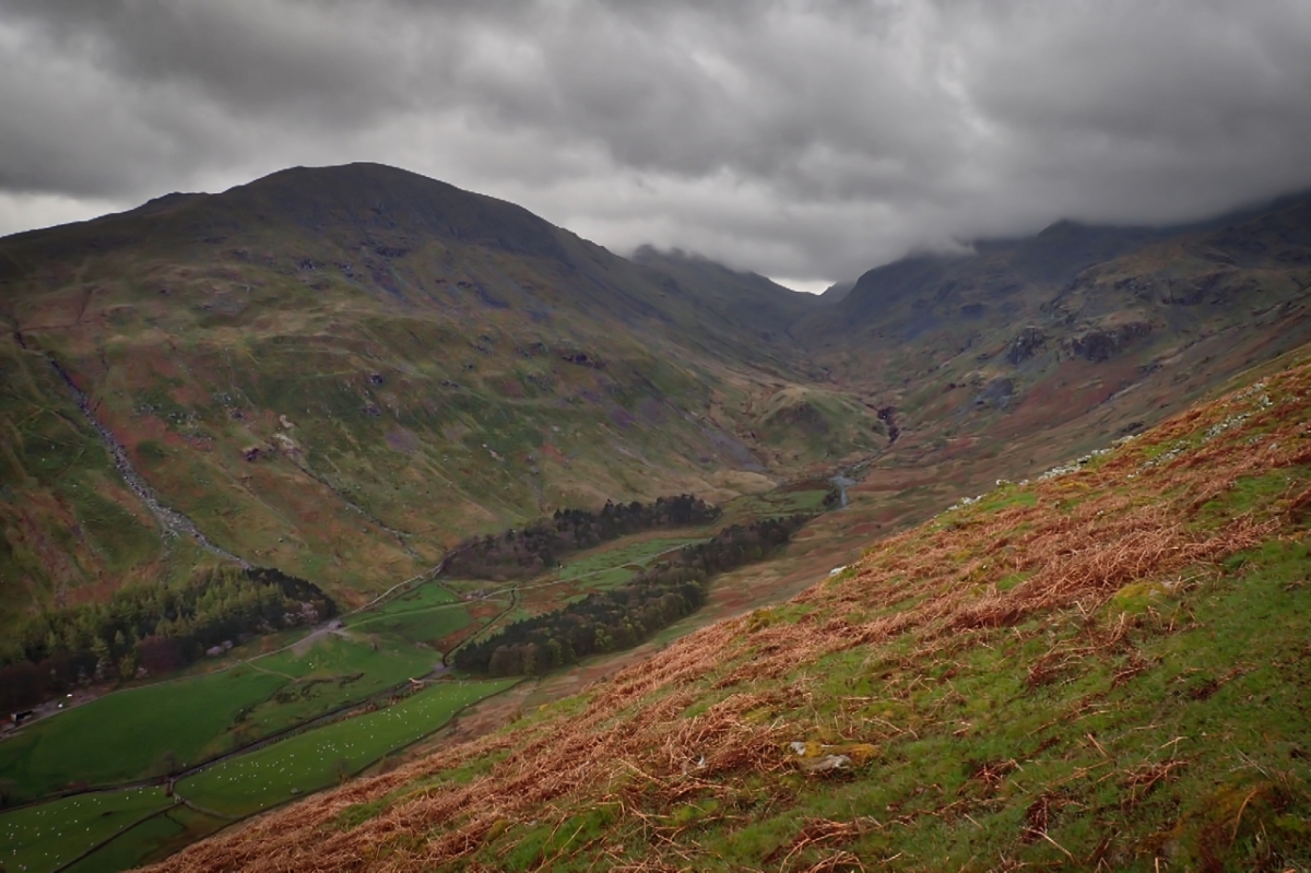
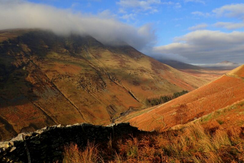
The high peak on the far right is Causey Pike, 637m high with a southern flank giving one of the most relentless, steepest climbs I have ever done.

NY2419 map

Wasdale

A short break from watching my DoE group toil up to Windy Gap from Black Sail YH to nip across Great Gable and spend a moment’s reflection looking down on Wasdale, a perfect valley.

Buttermere and Crummock Water

Crummock Water and Buttermere, in prehistory both were once part of a single lake until the alluvial fan from the sediments coming down Sail Beck separated the two. Nicholas Size coined the name the ‘Secret Valley’ for Buttermere in his 1920’s book. It tells the story of Saxon and Norman attempts to conquer the Norse settlers of Lakeland. Before the modern road around Rannerdale Knotts was made Buttermere was hidden from view up Crummock Water. In the 1070’s Boethar the Younger chose this hidden valley as his base to defend Lakeland and to carry out guerrilla attacks against the Normans. The name Buttermere derives from Boethar’s mere.

The Esk Valley at Castleton

Looking down Canting Hill from High Castleton. The Danby Court Leet is a manorial court having medieval origins. It is responsible for the Common Land of the Manor of Danby. This is the moorland, village greens, garths, enclosures and roadside verges. The Court is composed of a Jury of thirteen local men with an elected Foreman. One of their roles is to keep a Register of Common Rights which records residents Common Rights on the Common Land such as turbary (the right to cut peat) and grazing rights.

The Esk Valley at Castleton map

Rawthey Valley

In the Howgills, a quiet triangle of grassy round fells between the M6 and the towns of Kirby Stephen and Sedbergh, and, since 2016, part of the Yorkshire Dales National Park. The River Rawthey forms the eastern boundary separating them with Baugh Fell. The photo was taken from Fawcett Bank Rigg on a climb up to Arant Haw.

SD6894 map

Grisedale

A pre-breakfast jog up to Red Tarn below Helvellyn. Any higher and I would have been in cloud. The view is Grisedale, with Grisedale Hause at its head. The 841m high St. Sunday Crag on the left is below the cloud ceiling but Fairfield at 873m is hidden, as is the Helvellyn range on the right.

There at least one other Grisedale in the Lake District, that overlooking Whinlatter Pass. There is also a Grizedale south of Hawkshead which probably has the same Old Norse root of griss and dalr, meaning ‘the valley of the young pigs’.

Grisedale map

Bilsdale from Cold Moor

There is a scene from the movie ‘Shrek’ that I think of every time I come across a boulder where Donkey says to Shrek “I like that boulder. That is a nice boulder.” And I do like this boulder, it adds a point of interest in the drab browns of the winter moorland.

I am on Cold Moor and looking east across Bilsdale to Urra Moor, the highest point on the North York Moors at 454m asl. Half way up the slope on the far above the green pasture fields lies the hamlet of Urra while down in the dale a tree lined River Seph flows towards Helmsley. Urra is said to be derived from the Old English word horh meaning filth. Perhaps  there is some true in the local legend that William the Conqueror did indeed utter profanities after getting navigationally challenged in the valley.

Bilsdale from Cold Moor map

Bilsdale

From Trennet, above Chop Gate. A tranquil scene with glorious blue skies marred by the smoke of heather burning on Bilsdale West Moor. Heather burning is a practice carried out for the sole purpose of increasing the density of Red Grouse breeding on the peat moors. In its wake it carries the risk of complete incineration of whole ecosystems of invertebrates and small mammals, reduces peat formation and water and carbon storage and increases rain run off and dissolved organic carbon in streams and rivers. Of course there are regulations to control burning. The “season” is from 1 November to 31 March for one thing and the smoke should not be likely to damage health or cause a nuisance for another but the amount of burning of our moorlands has increased. The Committee on Climate Change found that:

“The area of burned moorland has increased significantly in recent decades across much of northern England. A comparison of aerial photography from the 1970s and 2000 of over 200 km2 of the English uplands found that the extent of new burns had doubled (from 15% to 30%) over this period. A recent study found that the annual number of burns between 2001 and 2011 increased by 11% per year, with an accelerating trend in more recent years.

And all so the maximum number of Red Grouse can be killed which we, as taxpayers, are probably subsidising to the tune of £56 per hectare per year as an agricultural subsidy.

Bilsdale map

Lonsdale

I am quite opportunistic with my photography. I don’t usually have much of a plan, sometimes just a vague idea of a potential subject. Today overcast with very strong winds and rain threatening I wasn’t very hopeful.  But as I skirted around Great Ayton Moor a break in the clouds threw Lonsdale below me in bright winter sunshine. Ahead is Percy Rigg with its Iron Age Village and Ernaldsti, perhaps the oldest track over the moors. On the right if you look closely are the lumps and bumps of Lonsdale Quarry where I was just four days ago under completely different conditions.

Glenderaterra Beck

The wonderfully named Glenderaterra Beck in Wainwright’s Northern Fells, draining the precipitous eastern slopes of Lonscale Fell and gentler western Blencathra. The misty mountain far right is Great Calva.